
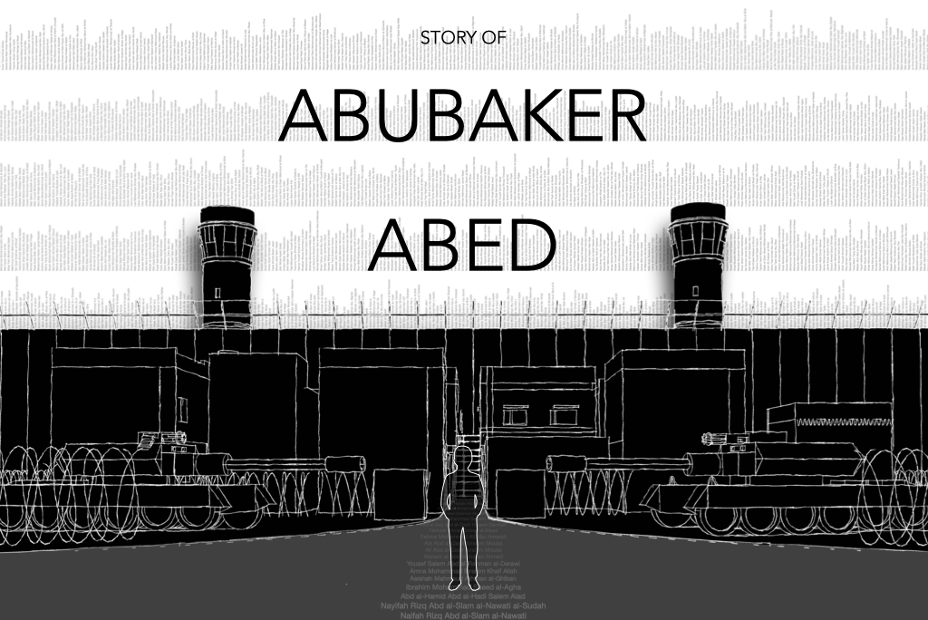
Story of Abubaker Abed “Palestinians dream to live. Others live to dream” View the 360° Immersive Story ↑ Return to Beginning Reconstruction Method The VR experience was reconstructed through oral testimony, archival imagery, spatial memory, historical research, and environmental reconstruction methods. Oral Testimonies The narrative structure is primarily based on Abubaker testimony and also includesContinue reading “Story of Abubaker Abed”
Author Archives: VRJ Palestine
Palestine:A Tale of a Shredded Homeland
An animated tale unfolds, depicting a nation estranged and exiled within its very own homeland. The narrative commences by tracing the militarized colonial displacement that spanned decades, chronicling the agonizing chapters of dispossession and erasure of the native realm. The short animation portrays the tattering of a once-unified land into shards of territory, fractured fractions, besiegedContinue reading “Palestine:A Tale of a Shredded Homeland”
Jaffa Flashbacks
Jaffa Spatial Archive Flashbacks of a vanished coastal city. Reconstructed memories of pre-Nakba Jaffa rebuilt through oral testimony, fragmented archives, historical maps, and spatial reconstruction. Before its depopulation in 1948, Jaffa was one of the most important Palestinian coastal cities, functioning as a cultural, commercial, and maritime center connected to the Mediterranean world. The reconstructionContinue reading “Jaffa Flashbacks”
3D Topographical Map
Nakba Animated Map This is an experimental primitive work representing the Palestinian maps during the British Mandate in Virtual Reality. The map shows the area between latrun-Jerusalem and Ramleh – Jerusalem railway track. Tens of Palestinian villages located in this area have been depopulated and destroyed. Even the landscape has been dramatically changed.This can be usedContinue reading “3D Topographical Map”
Nakba Timline
VRJ Palestine Central Archive Nakba Timeline An interactive geographic timeline documenting the depopulation of Palestinian cities and villages during 1948 through cartography, archival records, and spatial reconstruction. 437 Depopulated Villages 11 Depopulated Cities 1948 Year of Displacement 1s Per Village One village disappears per second. Macro-Forensic Ledger // Plate 01 The Chronological Continuum of ErasureContinue reading “Nakba Timline”
Tantura
Micro-Spatial Reconstruction // Case 02 The Sub-Sector of Haifa Coastline Al-Tantura Village Profile A Lost Maritime Architecture of the Mediterranean Situated 24 km south of Haifa on a low coastal ridge, al-Tantura was a thriving fishing and agricultural village built directly onto sand dunes, nestled alongside a natural square peninsula and ancient historic harbors. GeographicContinue reading “Tantura”
Hittin
Village Archive Hittin حطّين A reconstructed landscape of volcanic hills, agricultural terraces, and village life overlooking the plains of Tiberias. Population 1945 · 1,190 Galilee District Depopulated July 1948 Spatial Reconstruction Archive Digital reconstruction sketch based on aerial surveys, oral testimony, historical photography, and topographic analysis of Hittin prior to 1948. Spatial Reconstruction Film WalkingContinue reading “Hittin”
Zir’in
Village Profile No. 03 // Jenin District Zir’in: The Sentinel of the Valley A historical, visual, and spatial analysis of a strategic community perched on the northern spurs of the Faqqu’a Mountains, tracing its defensive significance, its targeted demolition in 1948, and the digital reclamation of its physical fabric. Archival Matrix Spatial Model Figure 3.1:Continue reading “Zir’in”
